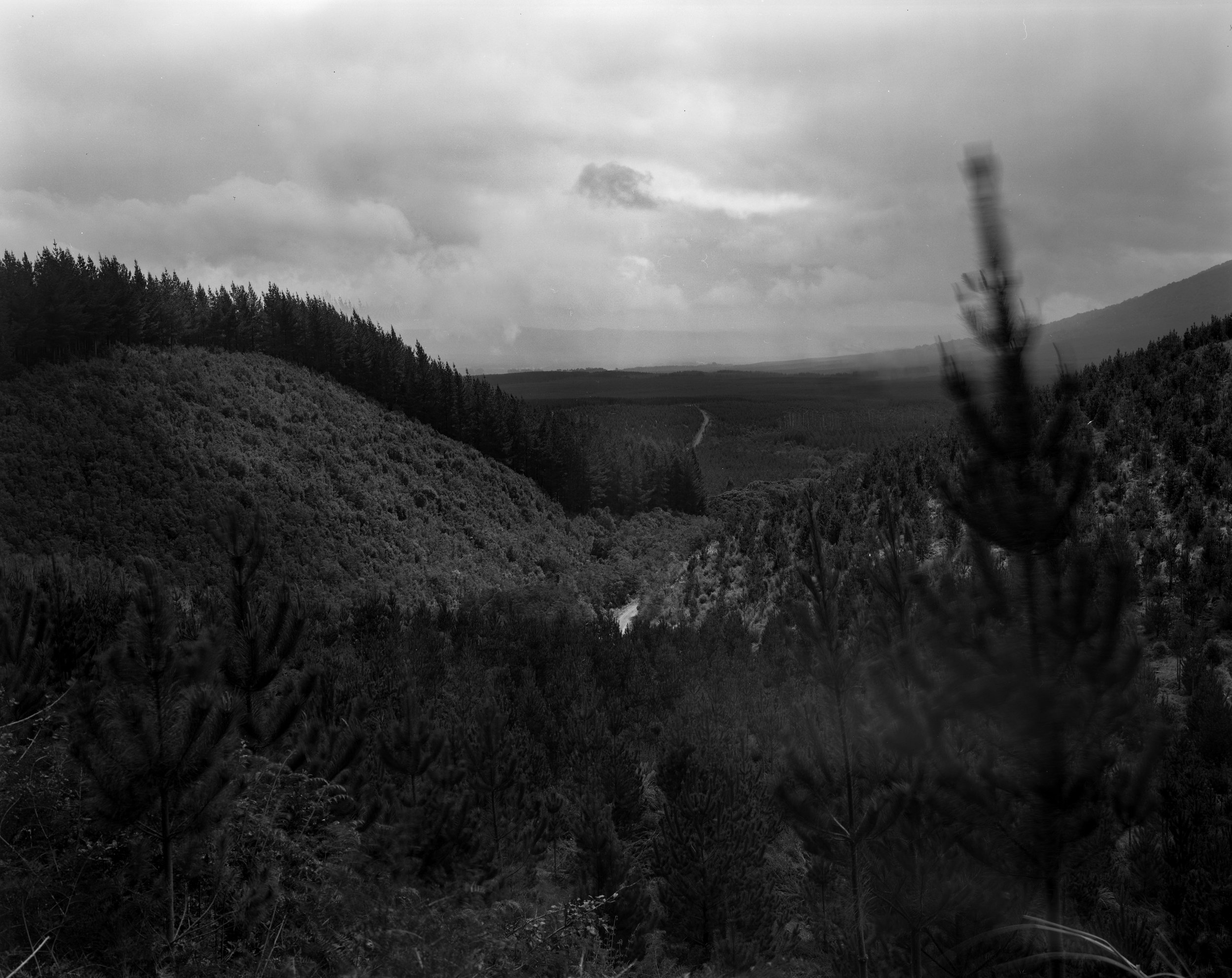
Boundaries of the Landscape
2012
18 silver gelatin prints
“To exist humanly, is to name the world, to change it.”
- Paulo Friere, 1972
The boundary line that defines the parameters of the Tongariro National Park splits the land into a protected ecological environment and land dedicated to industry. These photographs are a snapshot in time, documenting the dynamic construction of the boundary of the National Park. Before the boundaries were defined on a map, the landscape was a whole. The consequence of drawing the lines was a divide, transforming one environment into two separate entities. In this way, the lines became actions.
This photographic series considers the concept of boundaries by Paulo Freire’s Pedagogy of the Oppressed. The geographic divide is an intangible, socially constructed concept, in which a social and historical perspective is integral to understanding the current context of the boundary line, and it’s repercussions.


